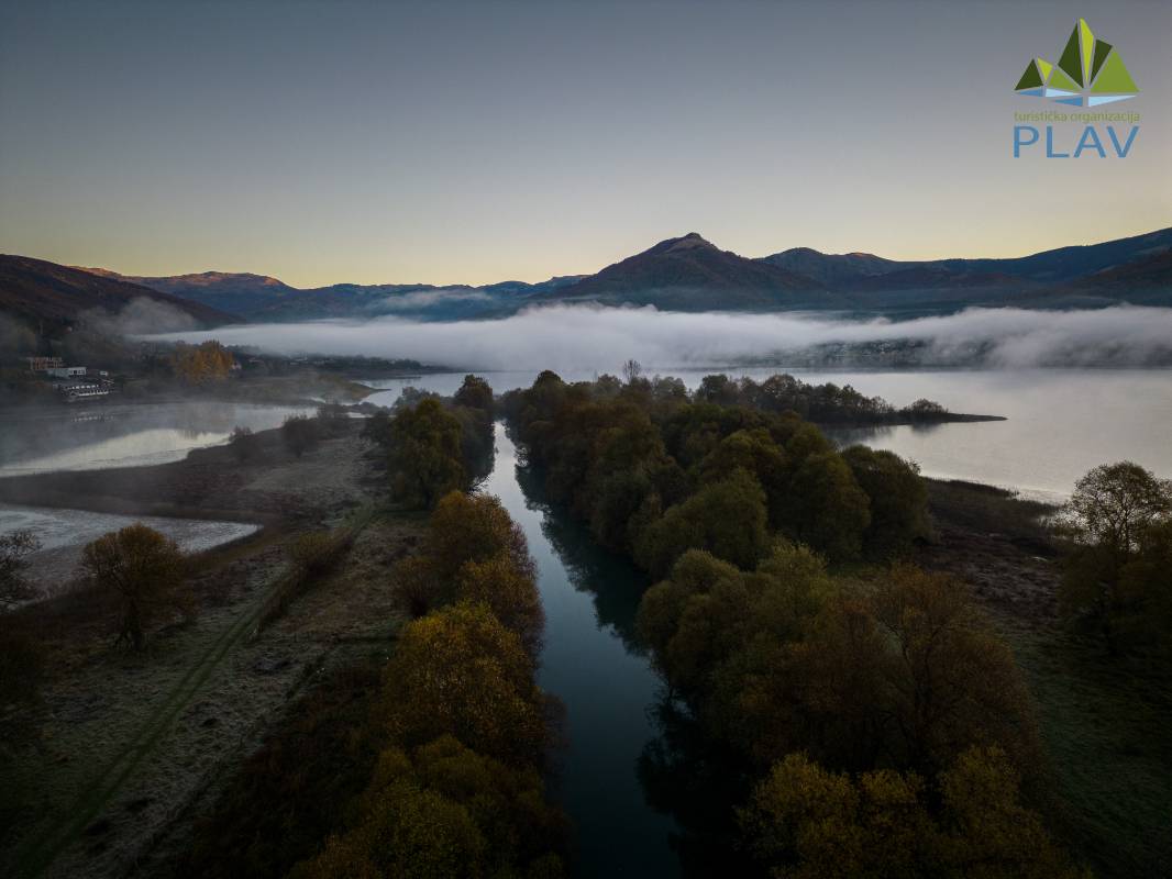
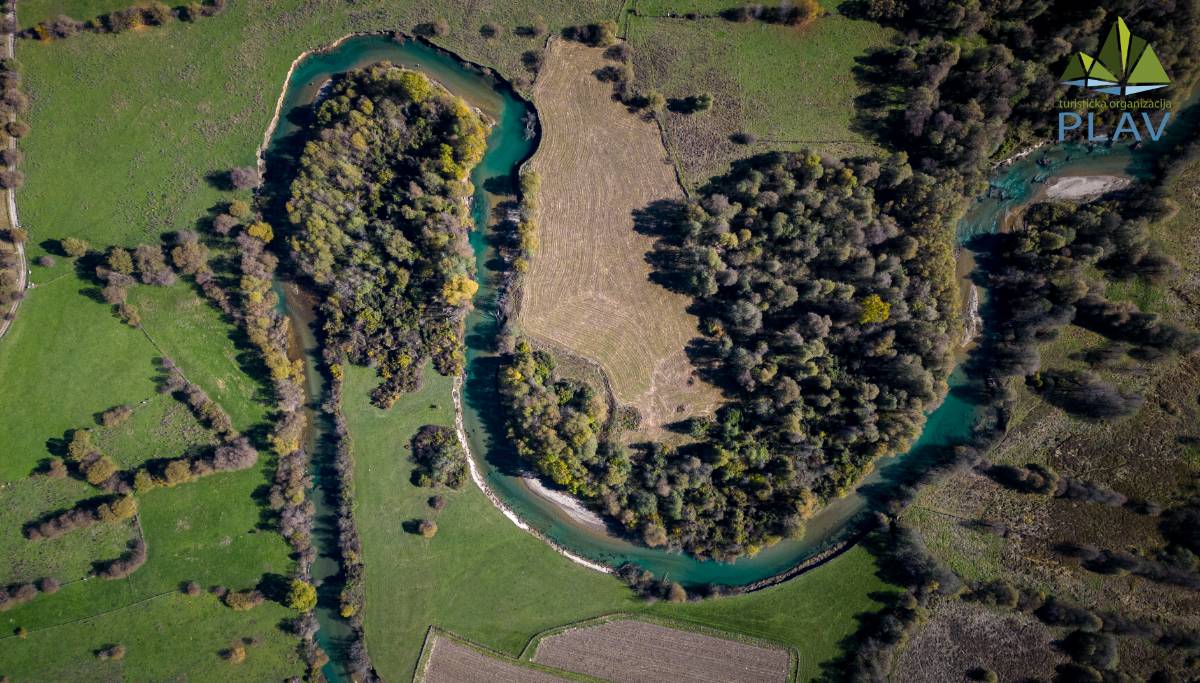
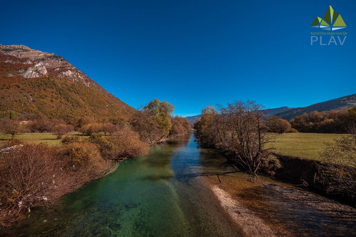
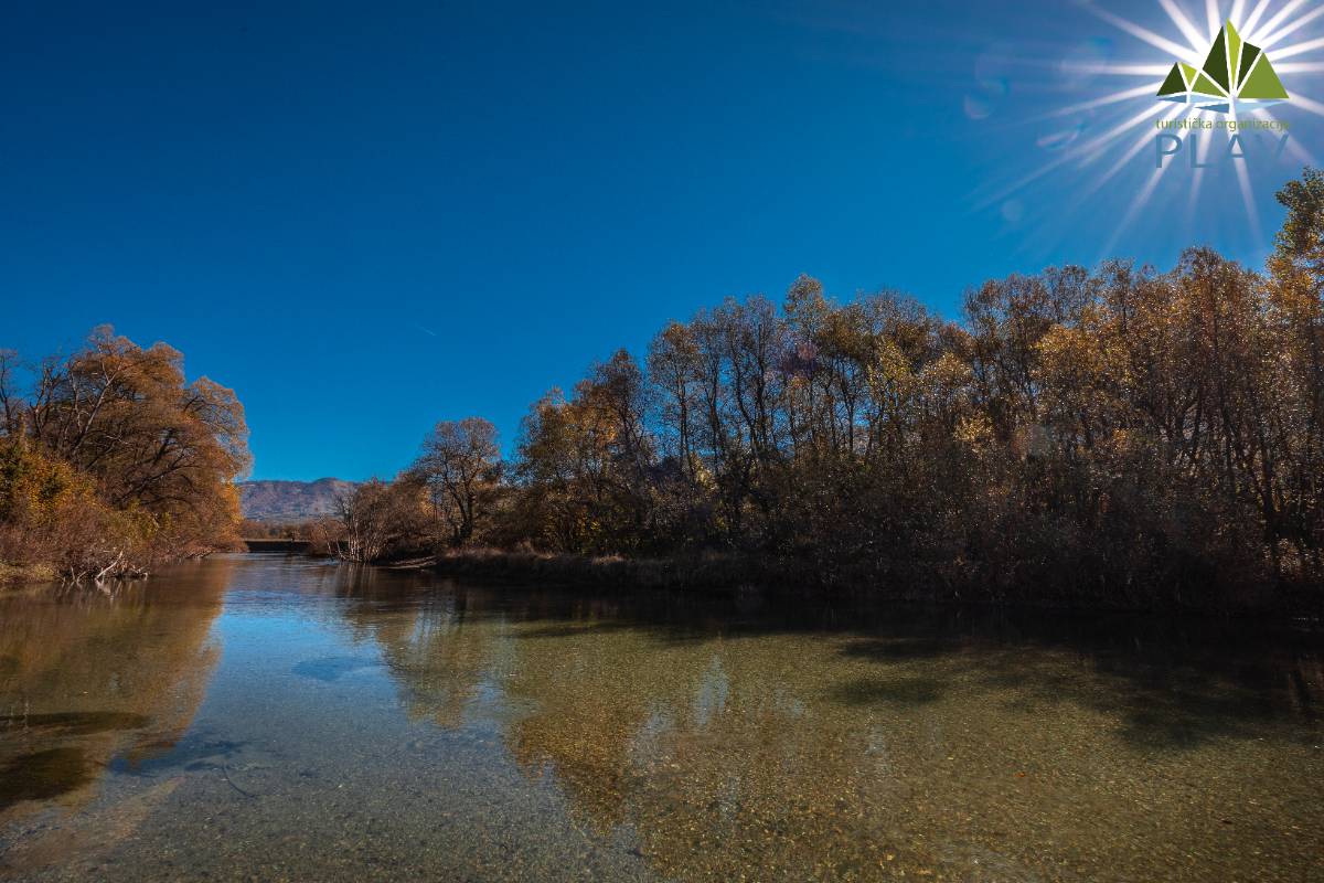
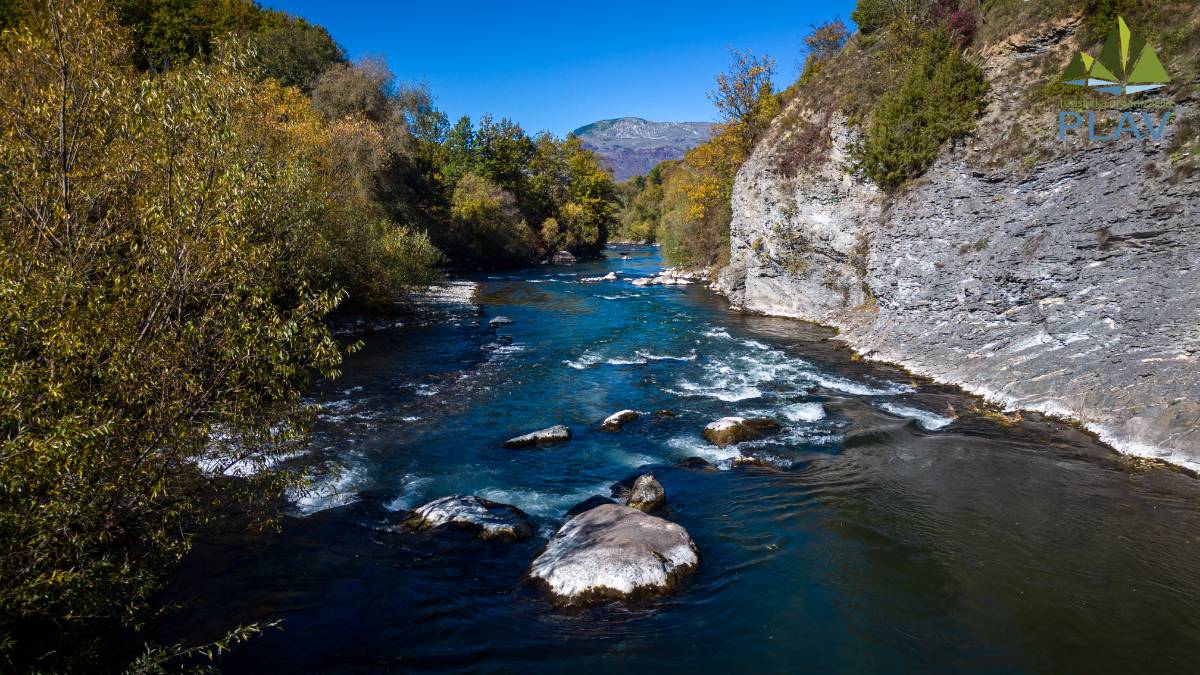
The River Ljuča is formed by the joining of the Rivers Vruja and Grnčar, downstream from Gusinje, and is the main outlet of the Lake Plav. During its course through the Plav valley, Ljuča flows through an area rich in alluvial soil, ideal for agriculture. The valley of the River Ljuča occupies about 750 hectares, including 300 hectares of wetlands, which became the largest alluvial agricultural complex in Montenegro through land reclamation.
Climatic conditions in the Ljuča valley, with an average annual temperature between 7.2°C and 7.6°C, allow the cultivation of crops that thrive at lower temperatures, while modern agrotechnical methods allow the cultivation of crops that require higher temperatures, such as watermelons, melons, peppers and tomatoes. The favorable combination of daytime temperatures and cold nights contributes to the special aromas and quality of the agricultural products of this area...
Video : River Ljuča
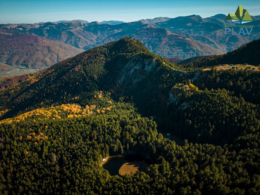
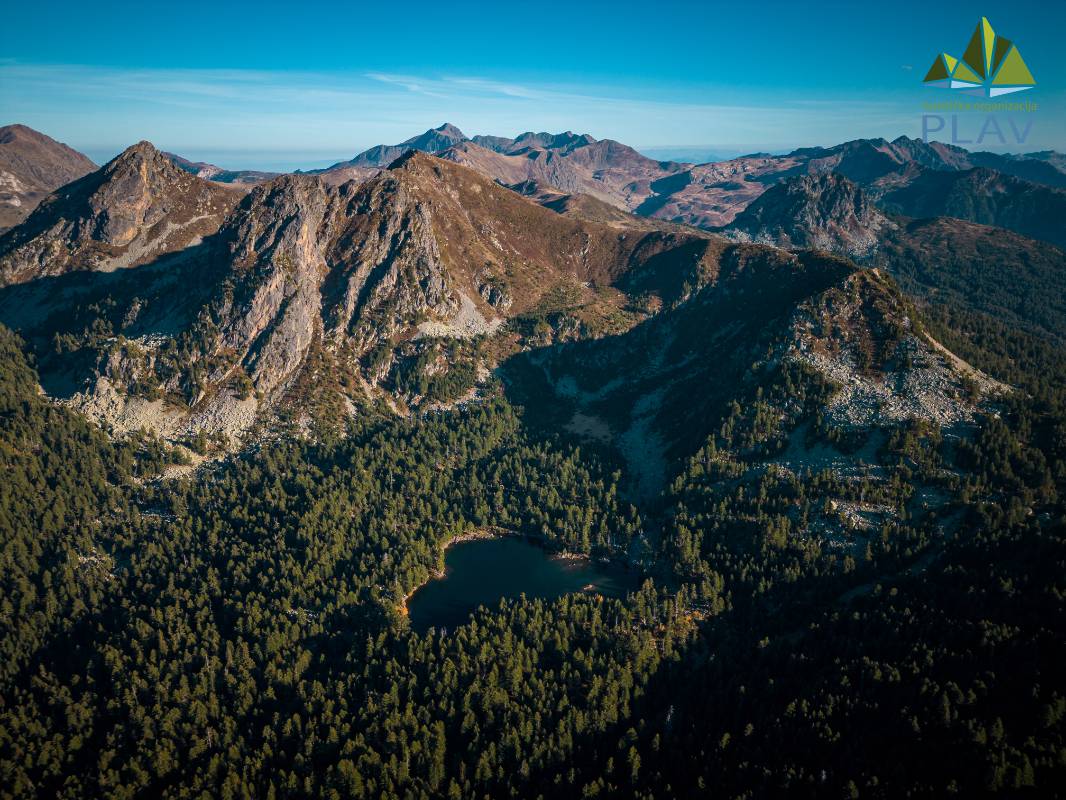
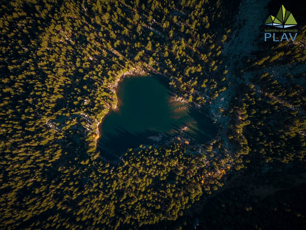
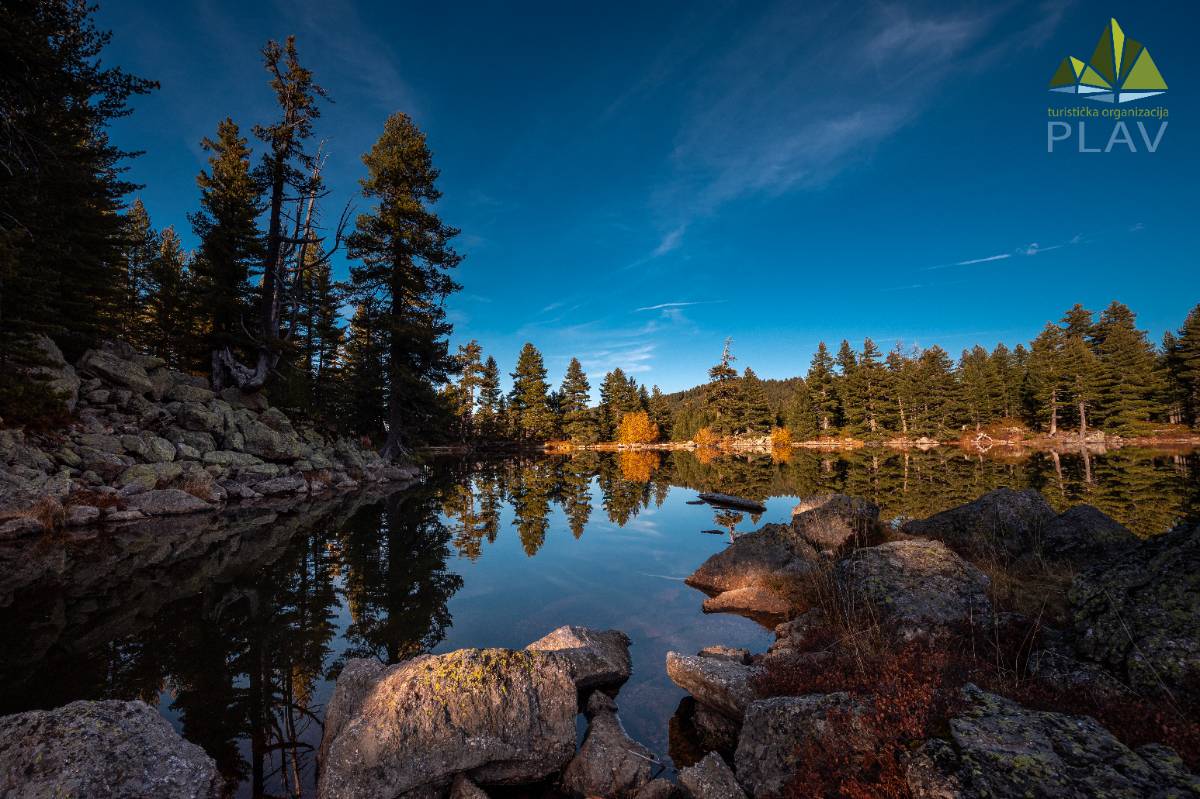
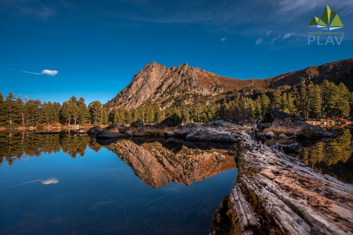
Lake Visitor, located on Visitor mountain (2.211 m), is one of the most beautiful natural gems in Plav, and is especially famous for its unique floating island. Lake Visitor is located in the central part of Visitor, about 2 km away from the highest peak of the mountain. It was created in the lowest cirque of the mountain, which is surrounded by steep sides to the southwest, and is open to the Murinska River.
Lake Visitor is of glacial origin, located in the smaller cirque Visitor at an altitude of 1,735 m. According to S. Stanković, the surface of the lake is 4,212 m², the volume is about 10,000 m³, the greatest length is 91.5 m, the greatest width is 72.5 m, the length of the coastline is 294 m, and the greatest depth is 4.1 m. It is located in the source part of the Murinska River, along whose valley a forest road leads. That road, between Pogana and Ugljenička glava, comes close to the lake, so you can get from Murino to the Lake Visitor in about one hour. In recent times, the accessibility of the lake has also been improved by a road through the valley of the Pepićka River, where a forest road leading to the vicinity of the lake has been cut. Other routes of arrival, especially those from Plav and Gusinje, lead to pedestrian and horse trails, which are longer and quite tiring. The lake is fed by snow, rainwater, springs and one smaller stream, which dries up in the summer. According to S. Stanković, water temperatures in July and August reach 16 to 18°C. Lake Visitor is the real "mountain eye" of Visitor, surrounded by coniferous forest. All previous attempts to stock the lake have failed...
Video : Lake Visitor

The Lim River is the largest tributary of the Drina River, with a total length of 219 km, of which 87 km flows through Montenegro. It originates from Lake Plav, and when the Ljuča River, which flows into the lake along with its headwaters, is taken into account, the total length of the Lim from its highest sources to the border with Serbia is 121 km. The Lim dominates the hydrological landscape of northeastern Montenegro, with a catchment area of 2,805 km² on its territory. Its average discharge increases downstream: at Plav it is 19.3 m³/s, at Zaton 55.1 m³/s, at Bijelo Polje 65.4 m³/s and at Dobrakovo 71.0 m³/s.
Right tributaries include:
Komaračka River (16.5 km) – the largest tributary in the Plav-Gusinj region,
Velička River (7 km),
Rženička River (4.5 km),
Piševska River (4.5 km).
Left tributaries are:
Brezojevički Stream – springs from the higher parts of Visitor,
Pepićka River (6 km) – has its source on Visitor,
Murinska River (6.5 km) – arises from the Nenova and Dosova Rivers on Visitor.
After these tributaries, the Lim passes through the 4 km long Sućevo Gorge, carved into the Triassic limestone between Rasojevićka Glava (1,601 m) and Teferič (1,557 m). Downstream, the Lim valley widens in the Berane Basin, where it is joined by larger right tributaries...
Video : Rijeka Lim
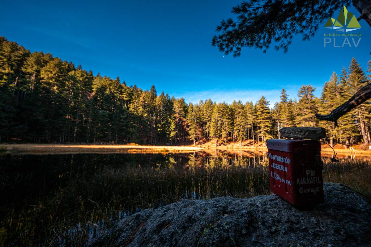
Lake Hrid, also known as "mountain eyes", is a true pearl of the Plav region and one of the most beautiful natural wonders of Montenegro. Located on the territory of the municipality of Plav, within the Prokletije National Park, Lake Hrid is located between the mountains Veliki Hrid and Mali Hrid, at an altitude of 1,970 meters. Its crystal clear water, surrounded by untouched nature and mountain peaks, attracts visitors from all over the world.
According to S. Stanković, Lake Hrid has an area of 33,376 m² and a volume of 62,897 m³ at the middle water level. It is oval in shape, with a coastline of 1,100 m. It is 300 m long, 170 m wide, and the greatest depth is 6 m. It is located 18 km from Plav, and the easiest way to get to it is by a forest road through the valley of Komarača, Temnjačka River and Hridski stream, which ends 2.5 km below the lake. Near Gradina, the second branch of the forest road that goes along the valley of the Treskavačka River and reaches near the lake on the eastern side separates.
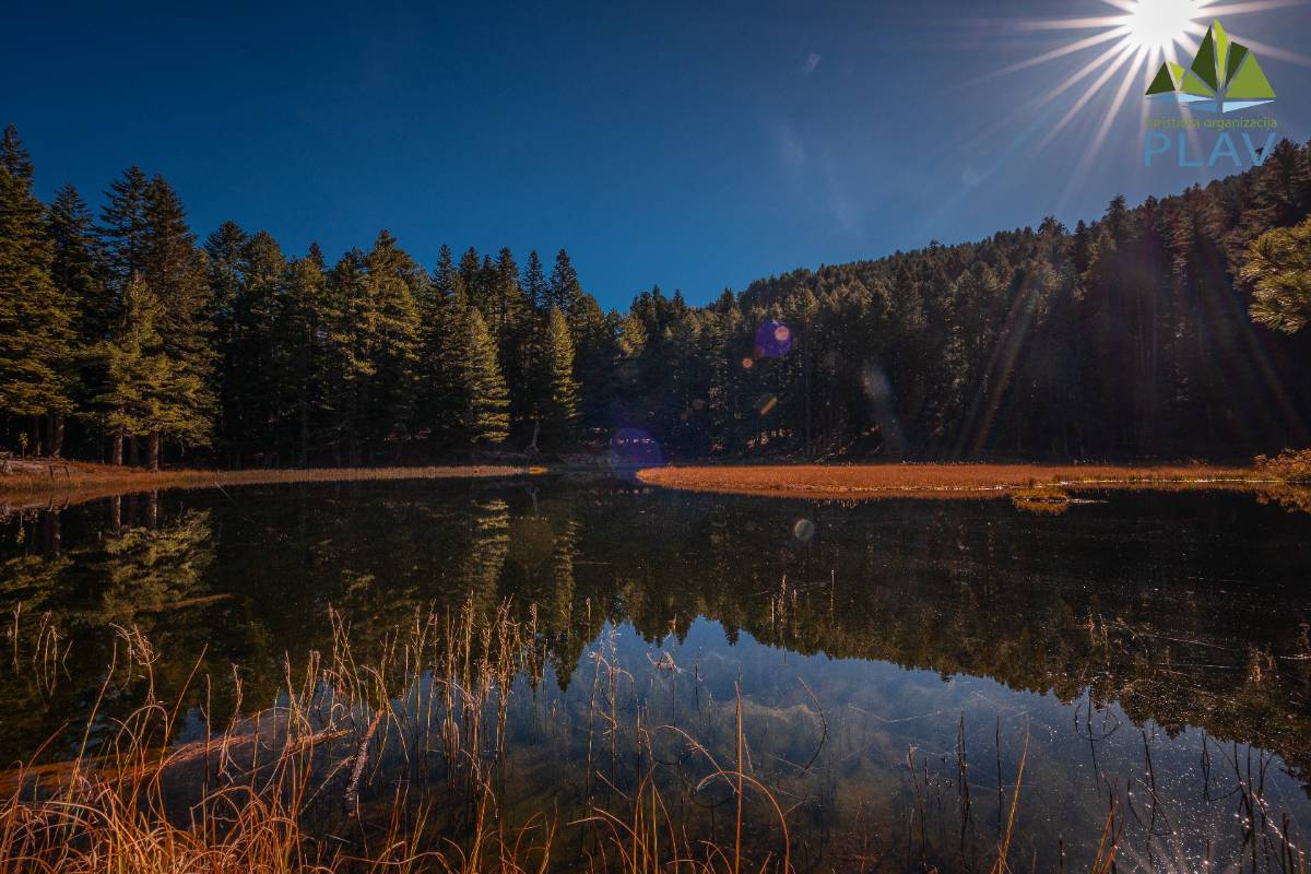
The lake is of glacial origin and is often considered the best "mountain eye" of Prokletije, which many call their pearl with a "paradise ambience". It receives water from springs, precipitation and snowmelt. At the bottom there are sinkholes through which the Hridski stream is fed, which makes it susceptible to gradual dying off. The lake is surrounded on all sides by coniferous forests, and
the color of the water varies from light blue to dark blue, with transparency up to 4 m. It was stocked back in 1957, but due to the poverty of food for fish, the stocking needs to be renewed.
Lake Hrid represents an exceptional natural value that is exposed to the natural process of disappearing, which would be a great loss. Bearing this in mind, the competent entities have the obligation to prevent this process in a timely manner, which does not require extensive research or large funds (Bakić, 2005)...
Video : Lake Hrid
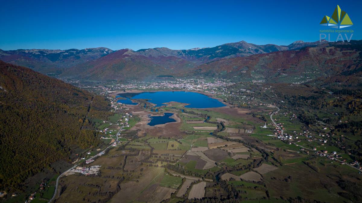
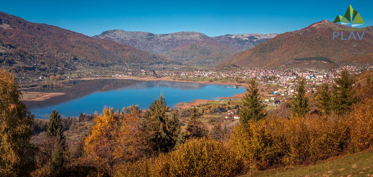
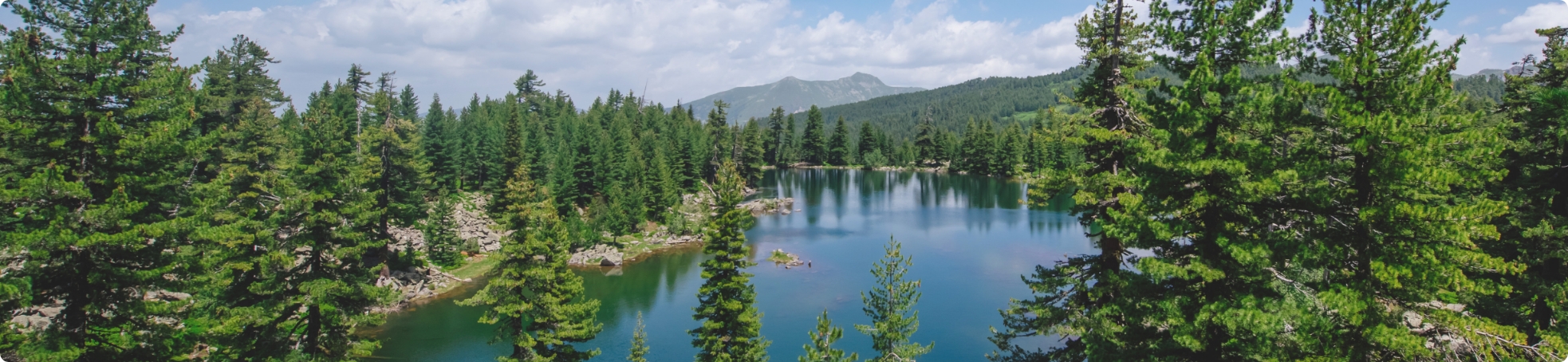
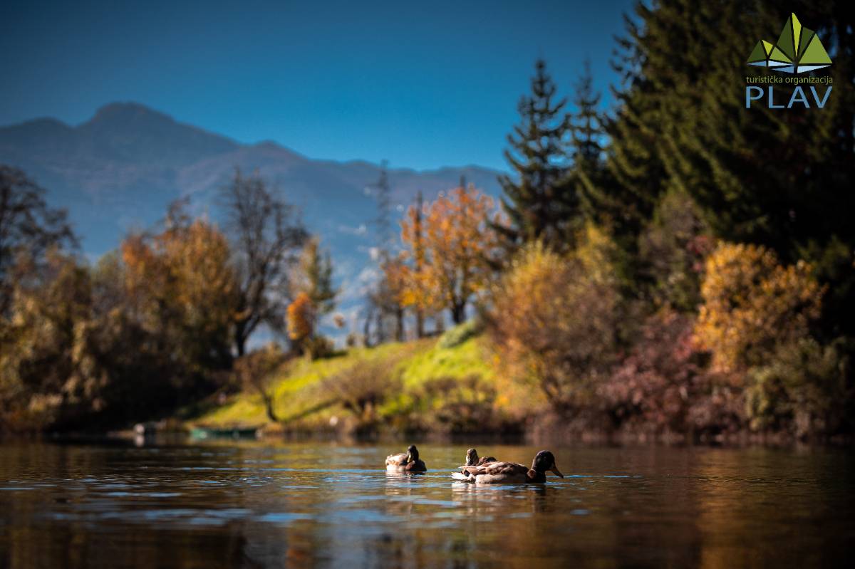
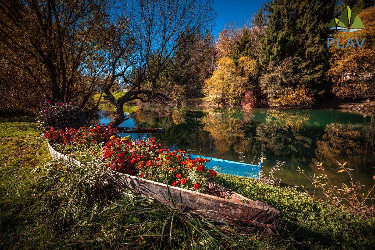
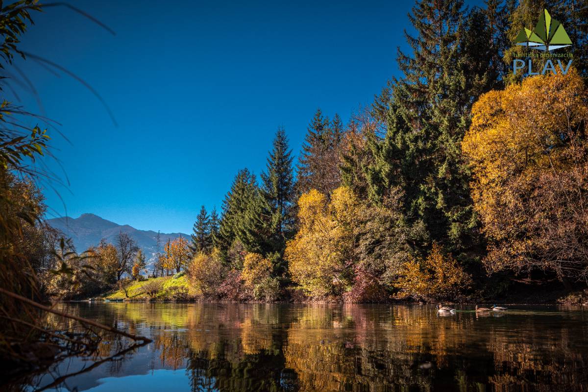
Lake Plav is the largest glacial lake in the Balkans. It was created in an area that was intensively affected by glaciation, where water accumulated in the Plav-Gusinje trough. It was formed at the end of the wyrm, which marks the last phase of the great Pleistocene glaciation. The surface of the lake is 1.99 km², it is located at 906 m above sea level, with a maximum depth of 9.16 m. The length of the lake is 2,160 m, and the width is 1,490 m, while the volume is 7,690,950 m³. The area of the immediate watershed exceeds 4 km² (Feratović, 2018). In the first phase of its existence, the lake was much wider and deeper. Lake Plav is of the flowing type, and the basic characteristics of the water balance are given by the Ljuča tributary with its catchment and the island of Lim, whose source is exactly what this lake represents. A significant degree of water flow has a great influence on the thermal regime and water purity.
Formed during the era of intense glaciation, the plant and animal species that lived here before the ice age survived the retreat of the lake and remained "trapped" in today's glacial lakes, adapting to the newly created conditions. According to previous research, the waters of this lake are of satisfactory quality.
Lake Plav has an elliptical shape and is located in the spacious Plav-Gusinje basin, a tectonic basin between Prokletije mountains and Visitor. This makes it the lowest glacial lake in Montenegro. It was created in the terminal basin of the longest Pleistocene glacier in Montenegro, 35 km long. The glacier moved from the Kučka karst glacier, from the cirques on Žijovo, then joined several glaciers from the central parts of Prokletije, turning the entire basin into a vast glacial trough. J. Cvijić (1921) states that almost all valleys in Prokletije have the shape of waves, while S. Stanković (1975) notes the existence of four terraces around Lake Plav, created as a result of climatic changes after the Pleistocene and changes in the level of the lake. The River Ljuča, which brings the largest amount of water to the lake, cut its bed through moraine and fluvioglacial sediment, constantly filling the lake with material of different sizes. The River Lim, an island of the lake, also cuts its bed through the moraine. J. Cvijić (1921) says: "Plav Lake is a typical example of how the lake shrinks and is being destroyed by these processes."
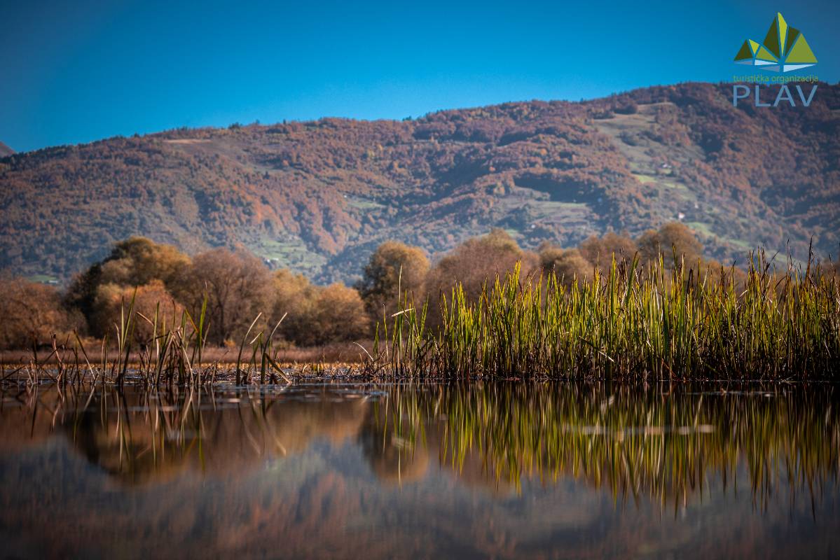
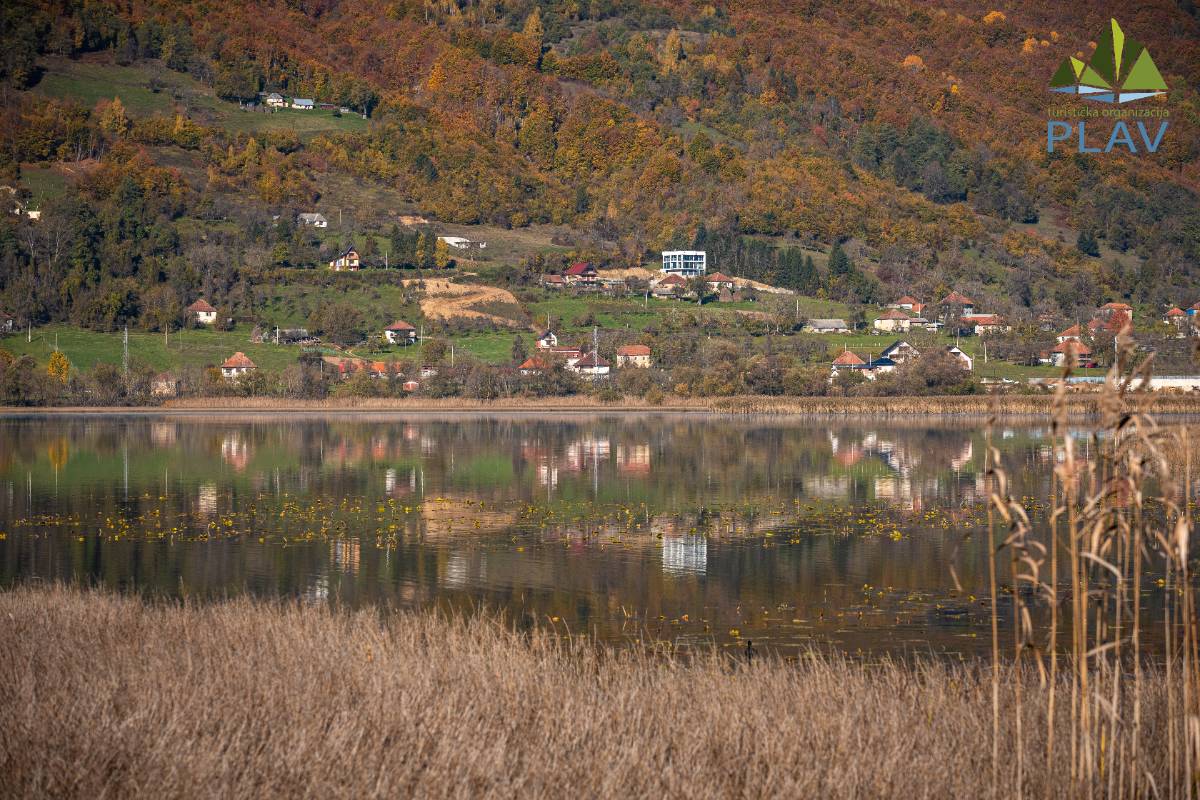
A significant part of the surroundings of the lake and shallow parts are covered with grass. The shore of the lake is low and slightly indented. On the southwest coast, near mouth of the River Ljuča, there are two smaller peninsulas and three bays, and in the river delta there are also three islets, which appear during low water levels (Radojičić, 2005).
The lake captures water and sediments from an extensive catchment area of complex geology, composed of carbonate and siliceous rock types, including limestones, sandstones, volcanics, phyllites, shales, and conglomerates (Frankl et al., 2016). It was formed in a glacial trough blocked by numerous moraines, and is located in a basin surrounded by the end moraines (Frankl et al., 2016) of a large outlet glacier that spread in the shape of the letter "u" towards the southeast, coming from the vicinity of Gusinje. That glacier covered the vast ice fields of Prokletije. The lake basin contains extremely thick layers of basal sediments, including 27.4 m of middle to late Holocene deposits (Wilkinson, 2012), while the thickness of the Pleistocene sediments is unknown...
Video : Lake Plav